

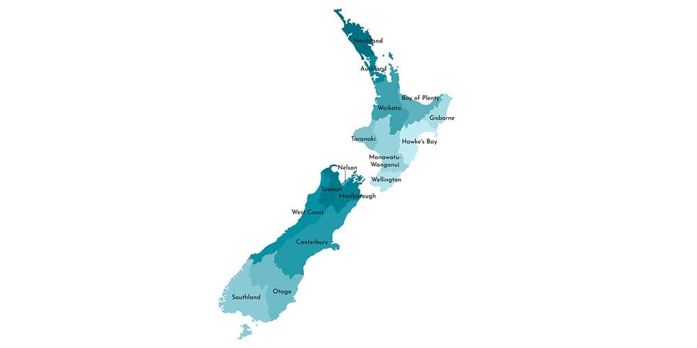
Every five years, the New Zealand Representation Commission changes the electorate boundaries to account for movement in population.
The list of electorate changes for 2020 has now been released with Auckland, Waikato, Christchurch, Otago and Southland are the main areas of change.
The boundaries of 30 general and 5 Māori electorates have been adjusted, while a new one has been created in South Auckland, called Takanini.
36 electorates have remained unchanged.
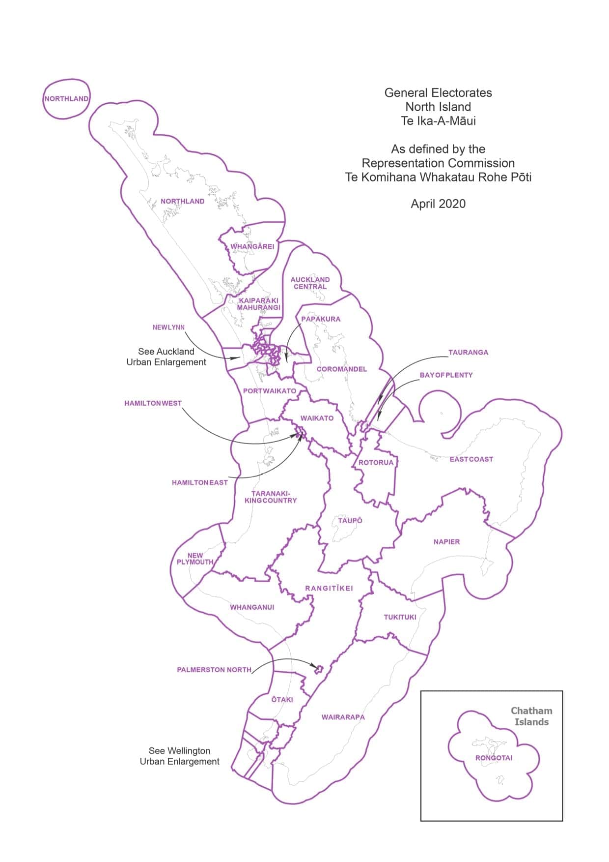
North Island electorate map
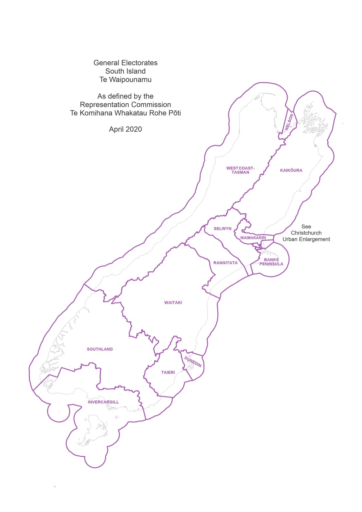
South Island electorate map
Here is the full list of 2020 electorate changes:
- Changed / new general electorates:
- Banks Peninsula
- Mt Roskill
- Takanini
- Bay of Plenty
- Nelson
- Taupō
- Christchurch East
- New Lynn
- Upper Harbour
- Coromandel
- Northland
- Waikato
- Dunedin
- Panmure-Ōtāhuhu
- Whangaparāoa
- Hamilton West
- Papakura
- Whangārei
- Ilam
- Port Waikato
- Waitaki
- Invercargill
- Rangitata
- West Coast-Tasman
- Kaipara ki Mahurangi
- Southland
- Wigram
- Manurewa
- Selwyn
- Maungakiekie
- Taieri
- Changed Māori electorates
- Ikaroa-Rāwhiti
- Te Tai Tonga
- Waiariki
- Tāmaki Makaurau
- Te Tai Tokerau
Click here to see the full interactive map of 2020 electorate changes