A vicious cold front is expected to hit New Zealand tomorrow, and bring with it the worst winter storm of the year. MetService has warned that the country should prepare for rain, snow and battering gales over the next four days, meaning a blustery start to the school holiday period.
Snow is expected to fall to very low levels in the south of the country with potentially damaging gales, torrential rain and snow lashing the country form Gisborne south.
Weatherwatch.co.nz is forecasting the snow to fall down to sea level across Southland and Otago tomorrow night with virtually nowhere in the South Island escaping a wintry white-out.
Ready for some ❄️❄️❄️? The atmosphere is setting up to produce on both Islands this week, just in time for school holidays ⛷ pic.twitter.com/yvoIt1BUEW
— NIWA Weather (@NiwaWeather) July 9, 2017
Travel across the country is expected to grind to a halt and farmers are being told to move livestock ahead of the wintry blast.
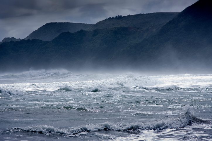
Coastal regions are also being warned of potential flooding from onshore winds and high waves.
Emergency services are warning residents to prepare for the approaching storm, which is likely to bring with it road closures and power outages.
The message for motorists is to try and stay off the roads as much as possible, or at least keep driving to a minimum. Motorists considering driving over mountain passes have been advised to take snow chains and to always check road conditions before setting out.


